
Record-strength El Niño triggers global emergency measures and trade disruptions
Narrative Snapshot
Across outlets, there is broad agreement that El Niño has entered record or near‑record territory and is already manifesting in regionally distinct hazards. Reporting converges on intensification metrics and global reach, but the emphasis shifts with local exposure: French coverage highlights systemic supply‑chain strain in Asia’s ports and rising freight costs, British and Argentine outlets foreground California’s advance emergency posture for extreme winter storms, Thai reporting underscores scientific confirmation of record strength across the Pacific basin, and Kenyan reporting centers on pre‑emptive public‑health budgeting.
Two interpretive seams run through the coverage. First, the strength classification is framed with different thresholds: some pieces stress a tie with the 2015‑2016 peak on a standard metric, while others cite U.S. agency estimates that this episode could become the most powerful on record. Second, impacts are presented as both acute and uncertain: heavy rain and flooding risks on the U.S. West Coast coexist with drought in parts of Central America, and even when marine heat and storm energy are clear, timing and landfall remain unsettled in the reporting on Pacific cyclones.
What Happened
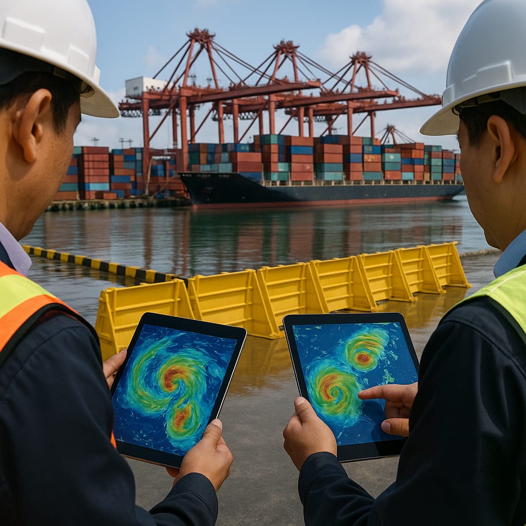
California declared a state of emergency to prepare for an extremely wet winter associated with a “super El Niño,” after recent high surf, flooding, and coastal erosion offered an early signal of risk; the move is intended to mobilize resources ahead of potential floods and landslides. Scientists cited by outlets in Thailand and Argentina said El Niño has tied for the most intense on record on a widely used metric, with NOAA data showing a 3.07°C sea‑surface temperature anomaly in the tropical Pacific and effects already evident from Central America to Indonesia. Le Monde reported that NOAA now sees a 75% chance this El Niño becomes the most powerful ever recorded. In Asia, El Niño‑fueled typhoons have produced unusually intense, long‑lasting systems that are paralyzing major ports, cascading through logistics chains, and driving up freight rates. Kenya’s Health Ministry mapped high‑risk counties and budgeted Sh2.9 billion for preparedness from October to December. Off Mexico’s Pacific coast, Hurricane Polo intensified to Category 1 with forecasts of further strengthening, while its landfall remained uncertain.
Why It Matters
The developments link climate variability to concrete strains on public administration, trade infrastructure, and emergency finance. In Asia, typhoon‑driven port paralysis in the world’s largest export region is already disrupting throughput and raising freight rates, a logistics shock with direct implications for manufacturers and buyers dependent on just‑in‑time flows. In the United States, California’s emergency declaration operationalizes a preventative stance, enabling earlier deployment of flood and landslide mitigation as experts anticipate an extremely wet winter. Kenya’s allocation and mapping exercise illustrates coordinated preparedness within a defined October–December window, aligning health response with seasonal risk. Scientifically, reports that El Niño has tied past intensity records—and could surpass them—situate this episode within NOAA’s global monitoring architecture, framing expectations for cross‑basin teleconnections ranging from Pacific hurricanes to drought in Central America and weather changes toward Indonesia. For decision‑makers, the throughline is readiness for simultaneous, region‑specific shocks under a common climatic driver.
Diverging Narratives
Coverage differs on how firmly to characterize the event’s rank. The Bangkok Post, citing a senior scientist, reports a tie with the most intense El Niño on record using a standard metric, echoed by Clarin’s reference to NOAA data that align this episode with 2015–2016. Le Monde, by contrast, highlights NOAA’s probabilistic assessment—a 75% chance that it becomes the most powerful ever—placing emphasis on forward trajectory rather than current parity. On impacts, outlets highlight contrasting hazards under the same driver: Clarin underscores severe drought in parts of Central America, while The Guardian and Clarin’s California reporting focus on the risk of extreme winter storms, floods, and heavy snow, with experts simultaneously noting that specific impacts remain uncertain. Event‑level uncertainty is clearest off Mexico, where Telesur reports Hurricane Polo’s potential rapid intensification alongside unclear landfall prospects. In Asia, Le Monde’s account of long‑duration, intense typhoons draws attention to systemic maritime disruptions and higher freight rates, a framing anchored less in meteorological ranking than in trade‑infrastructure vulnerability.
What Happens Next
Several decision points emerge. California’s emergency posture will translate into operational choices about timing and scale of flood control, debris management, and coastal protection as winter systems develop; analysts should watch how state agencies sequence resource deployments against forecast storm tracks cited by U.S. outlets. In Asia, the persistence of long‑duration typhoons will determine whether port backlogs deepen or ease; indicators include reported port closures, vessel anchorage times, and any further freight‑rate increases described by Le Monde. Kenya’s Sh2.9 billion preparedness plan is slated for October–December; the key signal will be how mapped high‑risk counties are prioritized for health interventions during peak rainfall periods flagged domestically. Scientifically, updates from NOAA and the researchers referenced by Bangkok Post and Clarin will clarify whether this El Niño remains tied with 2015–2016 or surpasses it. Along the Mexican Pacific, Telesur’s reporting on Hurricane Polo’s intensity and track—especially any shift toward landfall—will shape immediate risk and resource allocation.