
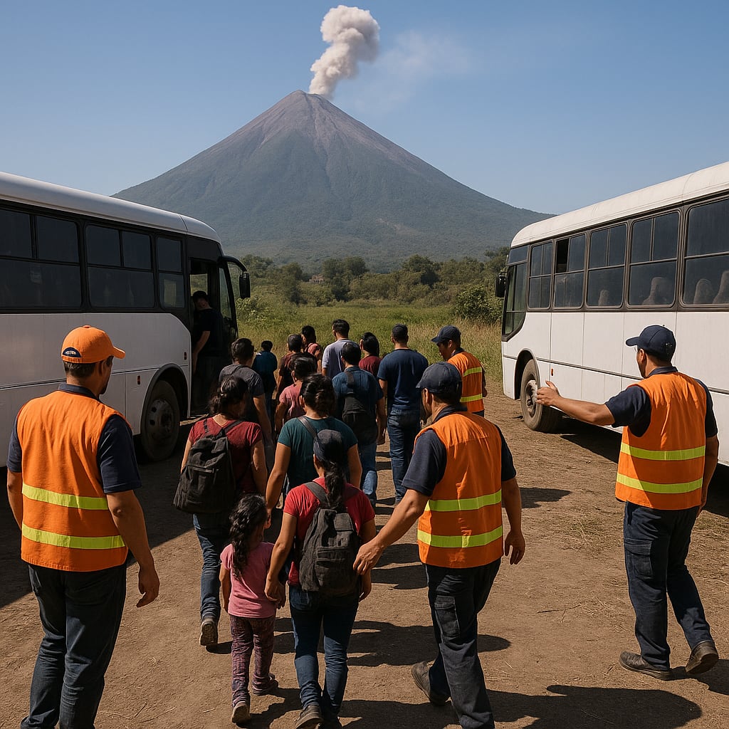
Evacuations and high-level alerts after Guatemala’s Fuego volcano erupts
Narrative Snapshot
Across outlets, the scale and proximity of the eruption are uncontested, but emphasis varies. Latin American and European reporting highlights the intensity of ash and lava, with Clarin noting ash columns above 6,000 meters and The Guardian describing plumes nearly four miles high. Several international outlets foreground alert mechanics: Bangkok Post, Deutsche Welle, and The Guardian characterize a nationwide orange, second-highest alert, while Telesur English reports a red alert in the departments of Sacatepéquez, Chimaltenango, and Escuintla, and Le Monde states the government triggered the maximum alert.
Coverage also diverges on operational detail. South China Morning Post, citing Guatemala’s disaster agency, quantifies evacuations at 659 people from eight villages, housed in shelters, while other outlets refer more generally to “hundreds.” DW underscores public-safety enforcement, warning onlookers not to climb nearby peaks to film. Several sources situate the risk through memory: Politika recalls more than 200 fatalities in 2018, and Al Jazeera notes that evacuations are occurring near that deadly eruption site. The BBC locates the crisis within the three departments most exposed. What is most at stake is the management of pyroclastic flows and ashfall affecting densely populated corridors close to the capital, a throughline in SCMP’s description of active flows and in Clarin’s reminder that Fuego sits roughly 35 kilometers from Guatemala City.
What Happened
Fuego entered an eruptive phase Monday morning, sending lava and ash skyward and prompting evacuations from communities on its slopes. Guatemala’s authorities activated high-level alerts: several outlets report a nationwide orange, second-highest warning, while Telesur English cites red alerts in Sacatepéquez, Chimaltenango, and Escuintla; Le Monde describes a maximum alert. The disaster management agency reported 659 people evacuated from eight villages and housed in shelters, according to South China Morning Post. Clarin notes the suspension of in-person classes and characterizes Fuego as Central America’s most active volcano, located about 35 kilometers from the capital. The Guardian and Clarin describe ash reaching roughly 6,000 meters. Deutsche Welle reports officials urged the public to stop climbing nearby volcanoes to film the eruption. Media videos show ash clouds, lava, and pyroclastic flows descending the slopes.
Why It Matters
The episode tests Guatemala’s disaster risk governance in one of the hemisphere’s most active volcanic zones. Multiple outlets emphasize Fuego’s proximity to major population centers, underscoring the premium on rapid evacuations, clear alert protocols, and continuity planning for schools and shelters. The structural benchmark is 2018: Politika recalls more than 200 deaths, and Al Jazeera situates current evacuations near that site, signaling how risk memory shapes present-day decision thresholds and public compliance. SCMP’s reference to pyroclastic flows and the BBC’s focus on the exposed departments align with a broader Ring of Fire context in which concentrated hazards intersect with tourism and commuter corridors. For decision-makers, the clarity and consistency of alert communication—national orange alerts alongside department-level red alerts reported by Telesur English—are central to managing behavior, resource deployment, and interagency coordination as conditions evolve.
Diverging Narratives
Outlets differ most on alert characterization and scope. Bangkok Post, DW, and The Guardian describe a national orange, second-highest warning level; Telesur English reports red alerts for Sacatepéquez, Chimaltenango, and Escuintla; Le Monde states the government triggered a maximum alert. These distinctions suggest layered alerting—national versus departmental—with implications for how risk is signaled to residents and international audiences. Evacuation figures are unevenly specified: SCMP, citing the disaster agency, reports 659 evacuees from eight villages in shelters, while others reference “hundreds,” reflecting varied access to official tallies. The hazard profile is framed differently, too. SCMP details active lava and pyroclastic flows, aligning with Politika’s stress on fast-moving lava on slopes and evoking the lethal 2018 precedent. DW introduces a behavioral angle—warnings against climbing nearby volcanoes to film—absent from most reports but pertinent to enforcement. Visual-led pieces, such as the BBC video, prioritize location and imagery, while Clarin adds domestic measures like suspending in-person classes and proximity to Guatemala City.
What Happens Next
Key decisions turn on alert calibration, evacuation scope, and public access controls. If activity continues to intensify—as The Guardian noted by nightfall—authorities could maintain or expand evacuations beyond the eight villages cited by SCMP; a stabilization would allow phased returns from shelters. Alert harmonization bears watching: outlets report national orange alerts alongside department-level red alerts per Telesur English; shifts in either direction will signal changing risk assessments. Enforcement of access restrictions is another hinge point, given DW’s warning to onlookers; tightening would indicate persistent hazards on adjacent peaks and routes. Operationally, decisions on school closures, referenced by Clarin, will mirror local ashfall and flow reports. Analysts should track CONRED bulletins on pyroclastic activity and ash columns, changes to departmental alert status, updated evacuation counts, and any official guidance specific to Sacatepéquez, Chimaltenango, and Escuintla, where exposure is repeatedly highlighted.